
Thunderlink
A clearer picture of the battlespace.
Real-time geospatial intelligence for the modern battlespace. Live tactical data, terrain analysis and electronic warfare intelligence, brought together in one platform.


- Adaptive
- Engineering hardware upgrades from battlefield data
- Global
- Terrain coverage in 2D & 3D
- Command
- Live tactical data and intelligence
- Control
- Deployment of systems and assets
Intelligence in context.
Thunderlink streams live tactical data through its database onto a high-resolution global map, bringing the information and its location into the same working environment.

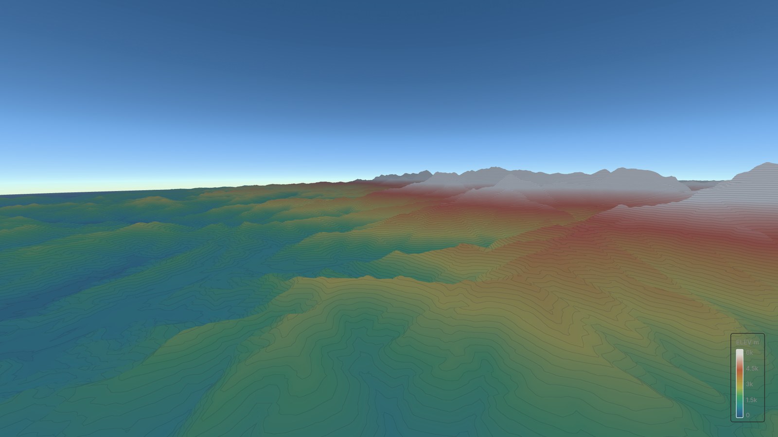


The terrain is part
of the picture.
Live data visualisation and detailed simulated scenarios in a true-to-ground global 3D environment. Explore the terrain alongside the systems operating within it.
Turn battlefield intelligence into better hardware.
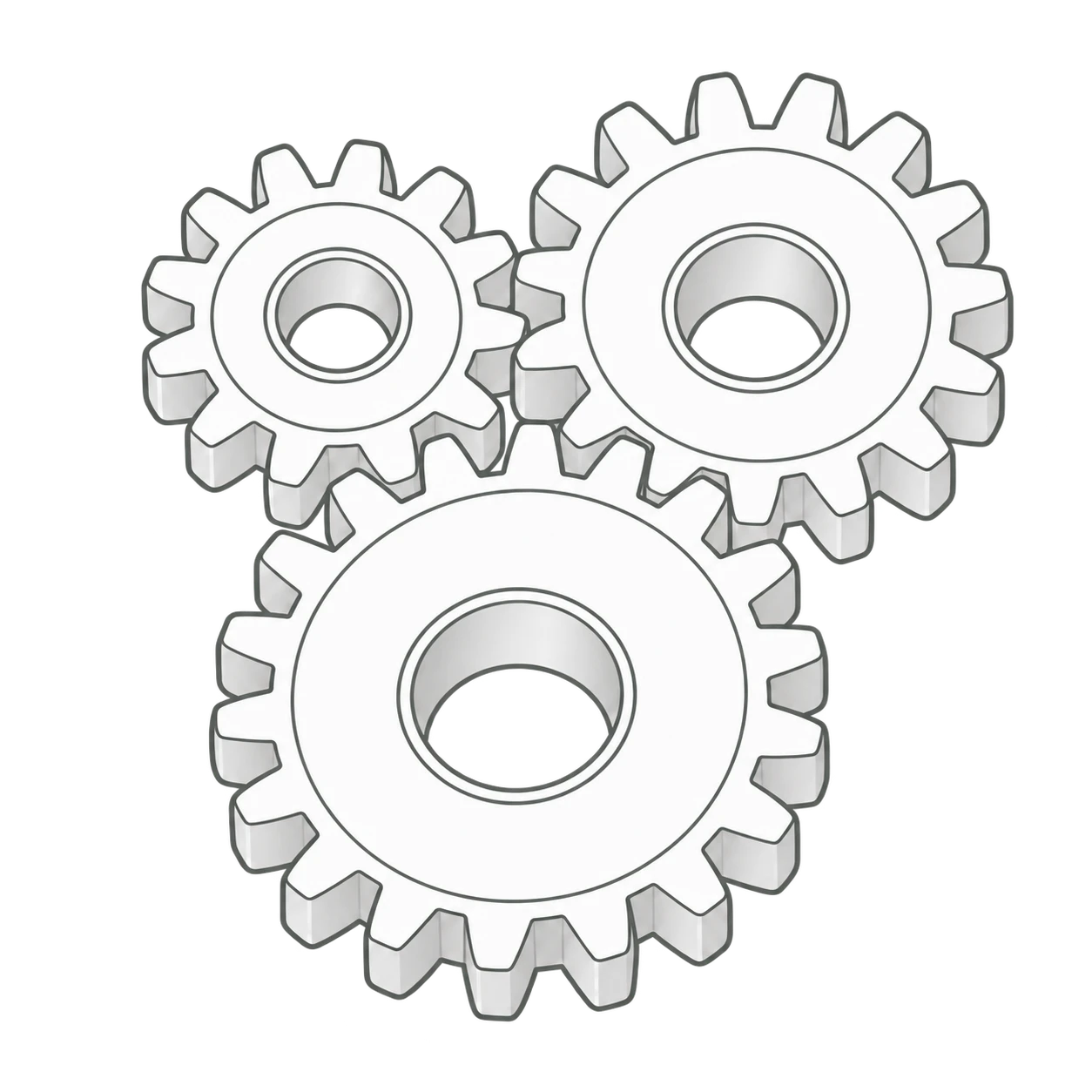
Thunderlink turns battlefield data into hardware upgrades, closing the loop as adversaries adapt.
Modern warfare moves fast. As adversaries continually adapt their hardware, maintaining the advantage demands continuous engineering in response.
Thunderlink closes the feedback loop with hardware upgrades engineered from battlefield data and frontline experience.



improvement cycle
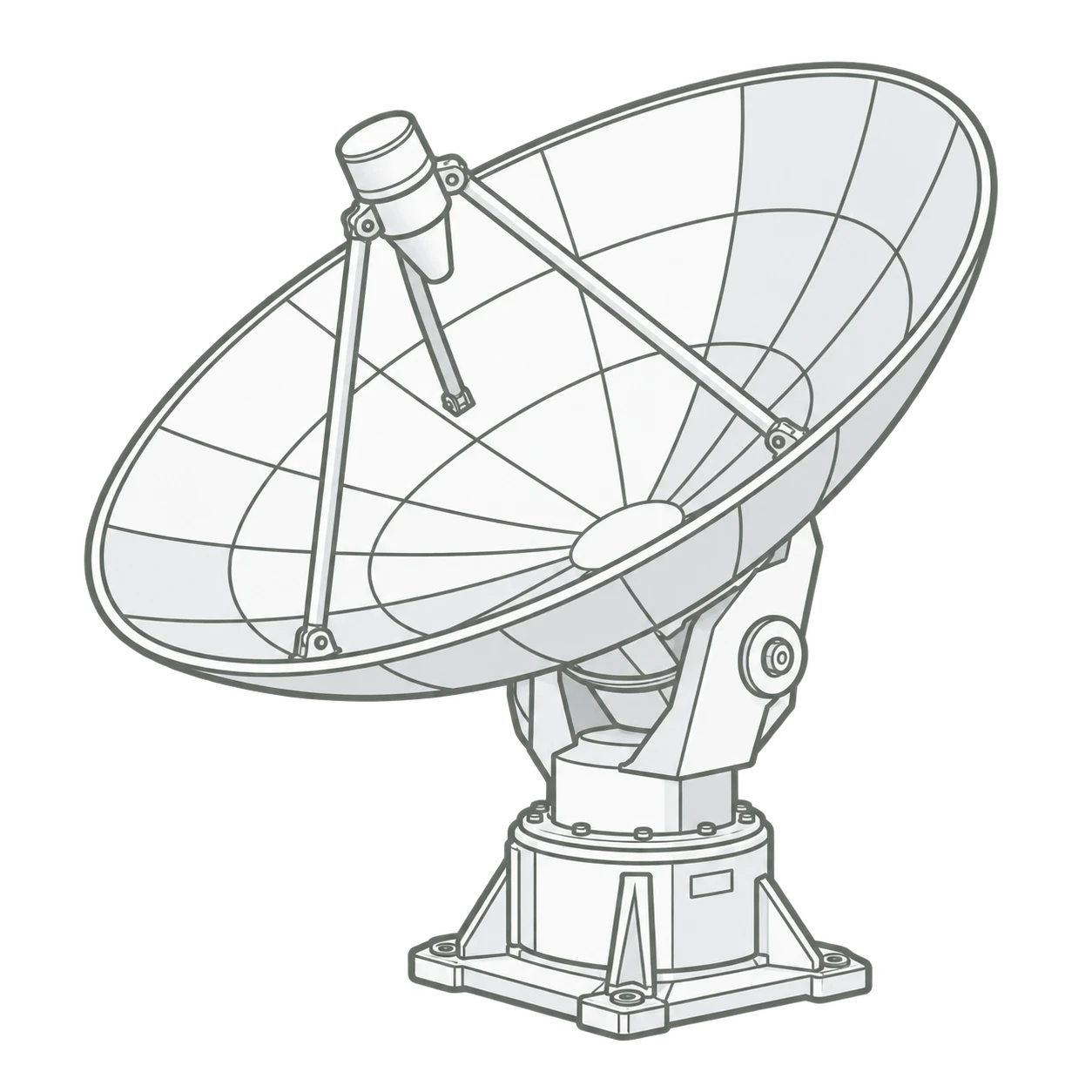 Battlefield dataTelemetry & frontline experience
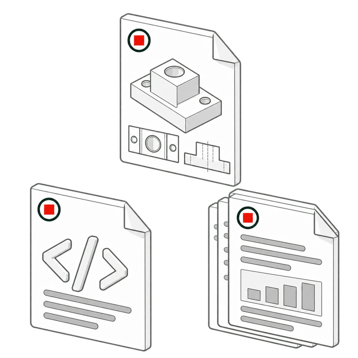 CAD files, code & documentation
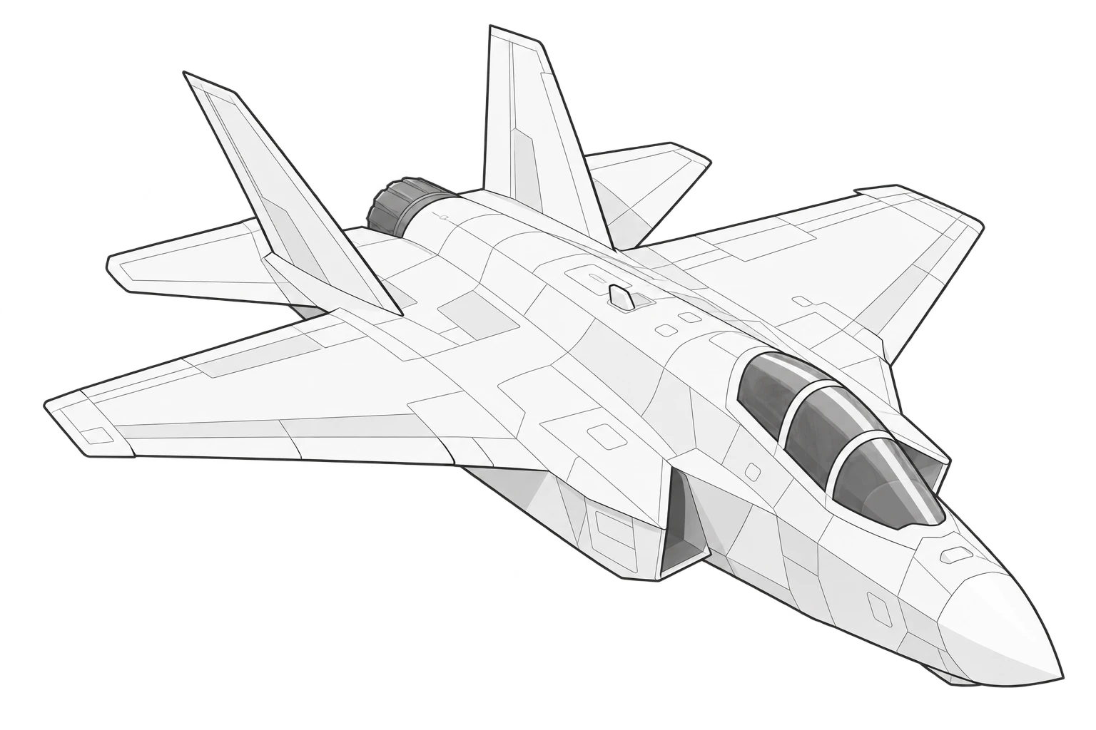
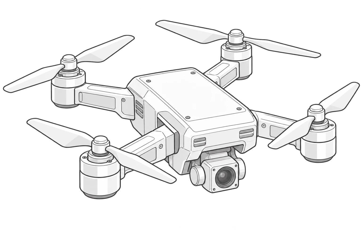
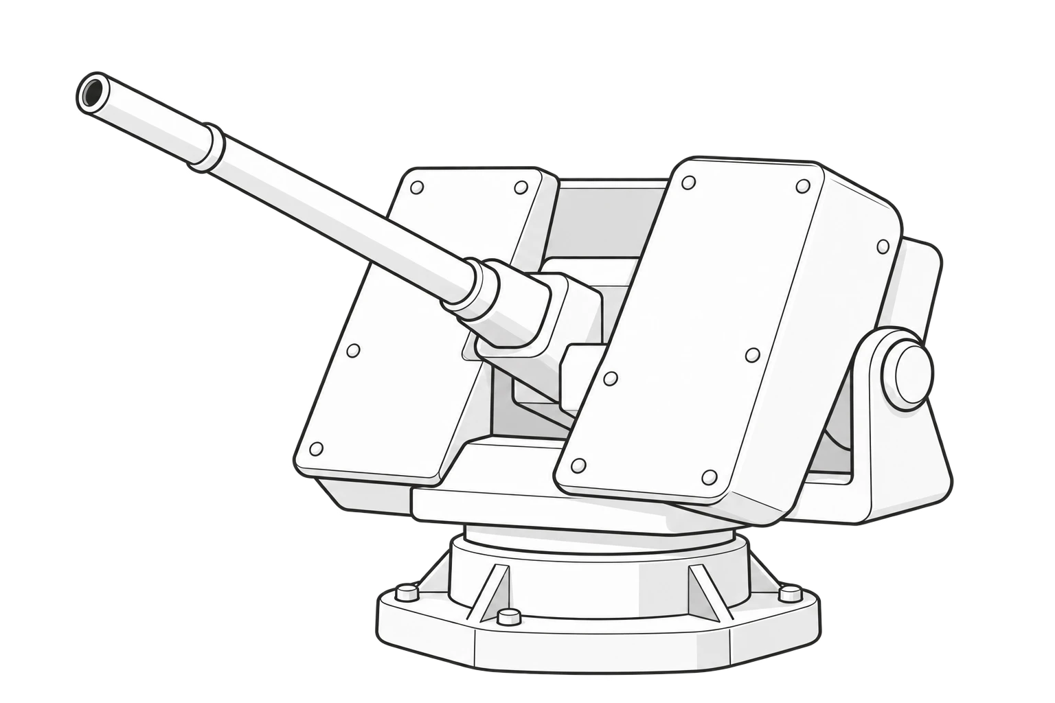
Automatically reverse engineer
enemy hardware.
Automatically derive missile properties from flight data, then turn them into the countermeasures that neutralise the threat.
Designed
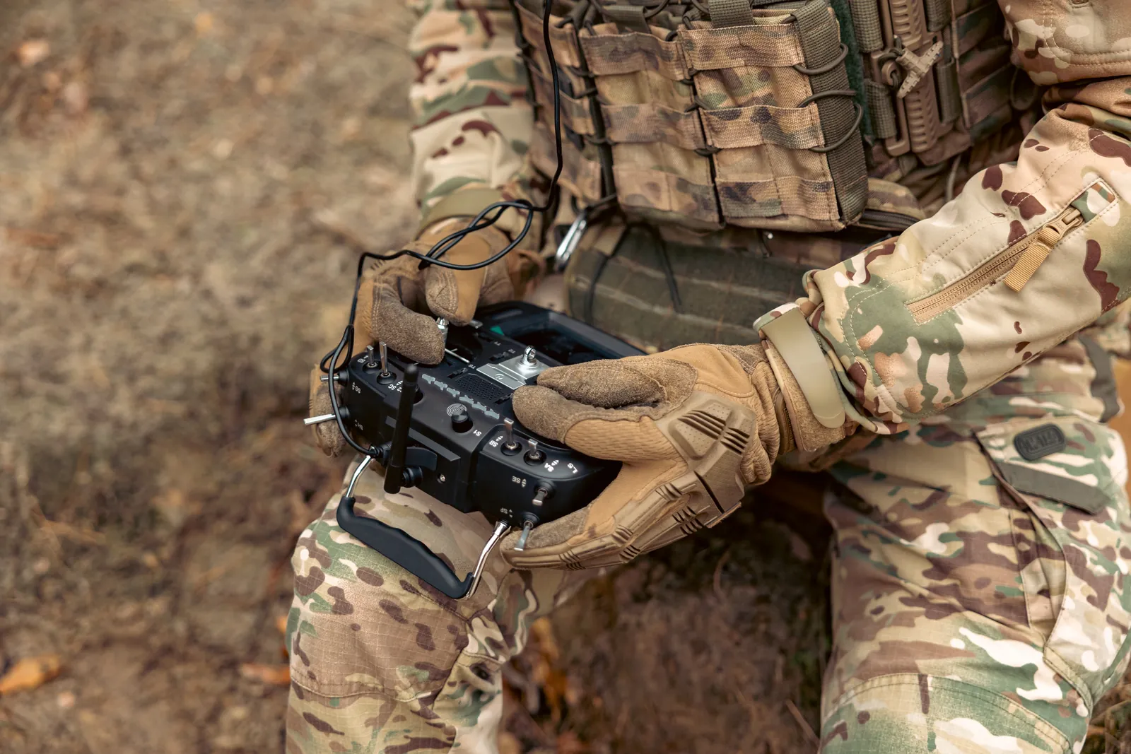
around drones.
Thunderlink puts drones to work collecting electronic intelligence in the field, and stores data on hostile drones so they can be detected.
Model the electromagnetic battlespace.
EM simulation
Thunderlink’s electronic warfare tools model the electromagnetic environment, simulate radar behaviour, and use machine learning to recognise and recreate emitters.
Signature modelling
Model radar cross-section and behaviour for aircraft and threats.
Analysis and export
Generate statistical analysis and documents automatically, or flow the results straight into other toolsets.